Geospatial shutter control for India
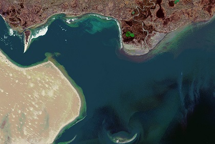
The recent use of geospatial analyses by Indian social and mainstream media for near real-time defence and military intelligence in Ladakh has been made possible because of the lower cost of earth-observation satellite construction, and thereby, easy access to satellite imagery on the internet. While independent analysis is useful, the same intelligence can be also used against the interests of a sovereign nation by an adversary, especially border imagery. India must find innovative methods to reduce this vulnerability of commercial satellite imagery.

